
- 1
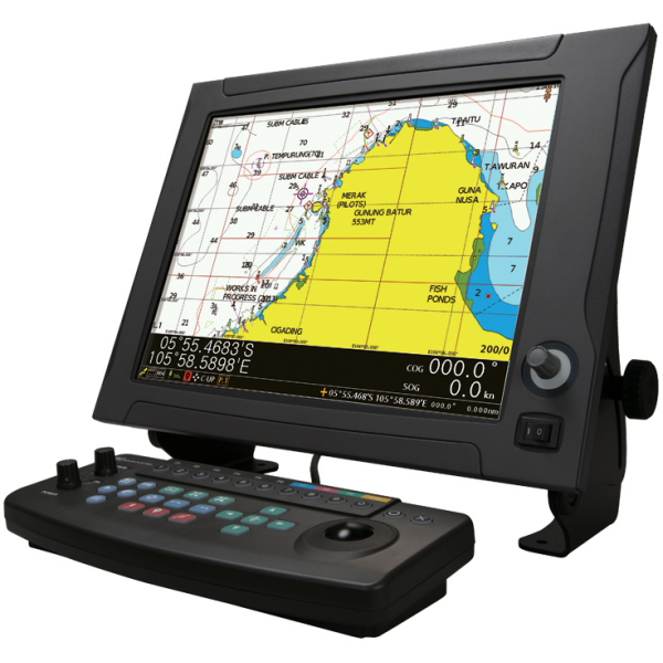
JLZ-1000
High-speed and accurate display of charts
Key specifications
- High speed and detailed display of sea areas
- Display up to four split screens
- Update with the latest charts
- New control additions for simple easy usage
About this product
The newest NAVIONICS+ allow for incredibly detailed display of sea areas. The JLZ-1000 color plotter also has a high-speed display contributing to a stress-free navigation and chart updates to let you operate while using the latest data. The JLZ-1000 fully supports NAVIONICS+, one of the most accurate and thorough set of global nautical charts created for marine environment available today. All essential details are included, such as port plans, safety depth contours, marine services, tides & currents and navigation aids – showed without delay allowing for stress-free operation. Also Newpec charts, the new personal electronic chart made available by the Japan Hydrographic Association, are supported for Japan.
By connecting the (D)GPS receiver or GPS navigation system, the JLZ-1000 continuously plots the tracks of own ship in color together with latitude and longitude lines and scales. You can display and erase tracks easily by changing the color of the tracks. This function is very useful as it enables users to identify the movements of operations intuitively. Another feature is that you are able to record destinations and passing points (using marks such as dangerous, shoal and fish reef position) and displays them in color.
Documents
Get documents for this product
Find related brochures, certificates, drawings, manuals and presentations.
View documents
Spare parts for this product
Order original JRC spare parts for any product in our catalog.
Open in portal
Questions about this product
Our specialists are happy to help with any question about this product.
Contact JRC